Can it snow above 0°C?
It may sound paradoxical. We all learned that snow melts as soon as the temperature rises above 0°C. And yet it is not unusual to see snowflakes falling while the thermometer reads +1 or +2°C… or even more.
How is that possible? Is it a measurement error, or a very real weather phenomenon?
The answer is simple: yes, it can definitely snow when it is above 0°C. It all depends on what is happening in the atmosphere… and on how much time the flakes have to melt.
Why don’t snowflakes melt right away?
You might imagine that a snowflake instantly turns into a water droplet as soon as it passes through a layer of above-freezing air. In reality, the process is much slower.
To go from solid to liquid, ice has to absorb a significant amount of thermal energy. Physicists call this the latent heat of fusion.
This energy is gradually supplied by the surrounding air. Until the snowflake has absorbed enough heat, it keeps its ice-crystal structure and continues to fall… even if the air temperature is slightly above 0°C.
In other words, crossing the 0°C mark does not mean the snow instantly disappears.
A question of size… and time
How fast a snowflake melts depends on several factors.
Small flakes, which have little mass, quickly absorb heat from the air and melt within moments.
Large flakes, on the other hand, contain more ice and take longer to warm up. They can therefore fall through several hundred meters of mild air before melting completely.
That is why you sometimes see impressive flakes falling when the temperature on the ground reaches +1 or +2°C.
In some very particular situations, they can even survive up to +4 or +5°C.
Daniel Goetz, a meteorological engineer and snow scientist at Météo-France, says he has even seen snow falling at +5°C, with flakes “the size of a two-euro coin.”
Such episodes remain rare, but they perfectly illustrate that the temperature on the ground is not enough, on its own, to tell whether precipitation will fall as rain or as snow.
What happens in the clouds matters just as much
The temperature measured two meters above the ground is only a small part of the story.
Snowflakes form much higher up in the atmosphere, inside clouds, where temperatures are well below freezing.
On their way down to the ground, they pass through different layers of air, some cold, some milder.
If the layer of above-freezing air is relatively thin, the flakes simply don’t have time to melt completely before they reach the ground.
Conversely, if that layer is thicker or warmer, they gradually turn into rain before the end of their fall.
That is why two neighboring towns can sometimes get different precipitation at the same time: snow in one, rain in the other.
Wet snow: somewhere between rain and snow
When snowflakes start to melt without disappearing completely, they become heavier, stickier and slightly translucent.
This is known as wet snow.
This kind of snow is common when temperatures hover around 0°C. The flakes keep their appearance, but their water content gradually increases.
As soon as they reach the ground, they melt quickly on contact with warmer surfaces.
That is why these episodes rarely leave the landscape white for long.
Why does snow sometimes stick despite above-freezing temperatures?
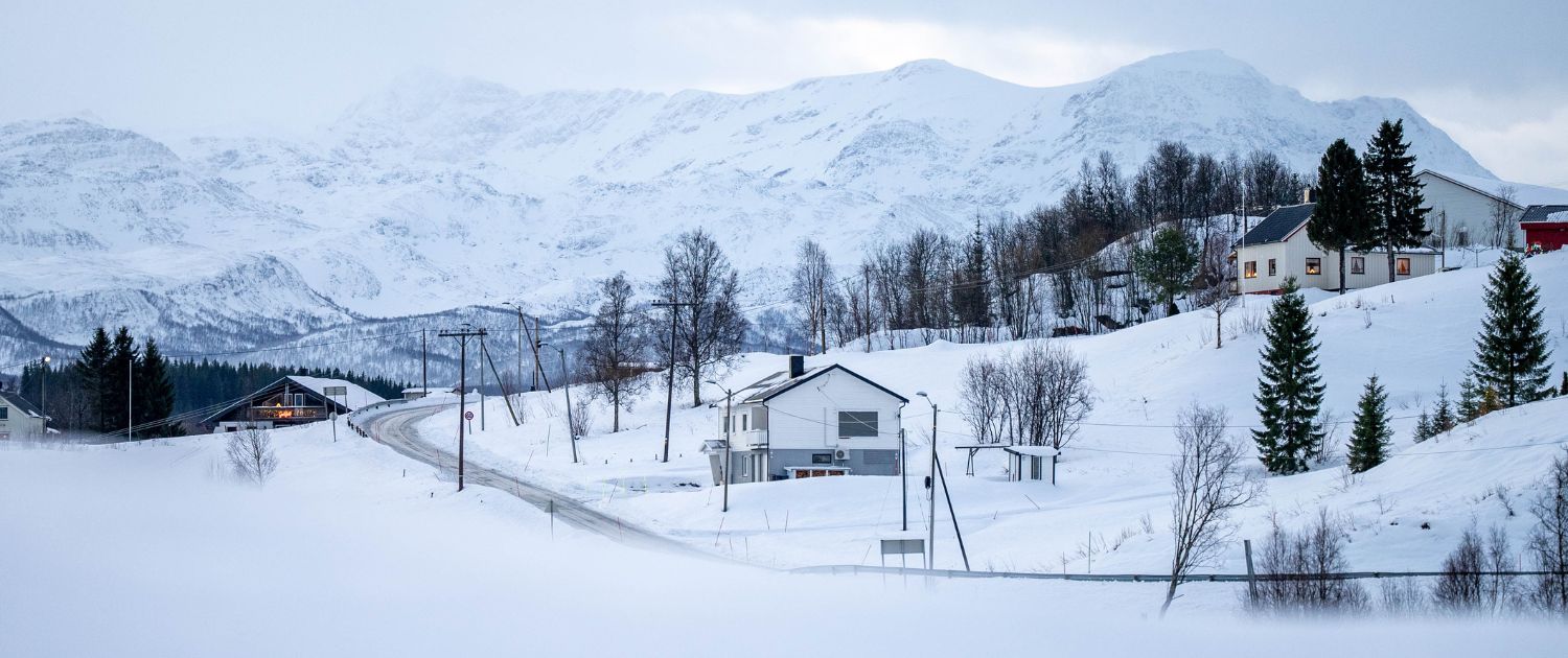
And yet a blanket of snow sometimes lingers while the thermometer reads +1 or +2°C.
The explanation lies in the temperature of the ground.
After several days of cold weather, the ground can stay frozen much longer than the air. Falling snowflakes then land on a surface that is still cold, which limits melting.
The intensity of the precipitation also plays a role. When snow falls heavily, the new flakes gradually cool the layers of air near the ground and keep conditions favorable for the snow to stick.
A delicate balance
The line between rain and snow is therefore much subtler than it seems.
It depends not only on temperature, but also on humidity, wind, the thickness of the different layers of air, the size of the flakes and even the temperature of the ground.
It is this combination of factors that makes winter forecasting particularly tricky, even for meteorologists.
The next time you see big flakes falling while the thermometer shows a temperature just above freezing, you’ll know it isn’t an anomaly. It’s simply physics at work… reminding us that the weather often has plenty of surprises in store.Sail to the Far North
aboard Polarfront
Twelve guests, a seasoned crew and passionate guides: the upcoming departures.
8 days / 7 nights Norway · Northern lightsPhoto voyage in Norway 11 of 12 spots Promo from€2,585 20Dec2026 returning Dec 28 Winter
9 days / 8 nights Norway · Northern lightsWinter magic in Norway 7 of 12 spots Promo from€2,975 28Dec2026 returning Jan 5 Winter
9 days / 8 nights Norway · Northern lightsWinter magic in Norway Only 3 spots left from€5,950 28Feb2027 returning Mar 7 Winter
8 days / 7 nights Norway · Northern lightsNorwegian gems in spring 8 of 12 spots from€5,280 16Apr2027 returning Apr 25 Spring
10 days / 9 nights Spitsbergen · WildlifePolar spring in Spitsbergen 12 of 12 spots from€12,490 25Apr2027 returning May 4 Spring
10 days / 9 nights Spitsbergen · WildlifePolar spring in Spitsbergen 5 of 12 spots from€12,490 4Aug2027 returning Aug 13 Summer
10 days / 9 nights Spitsbergen · WildlifeMidnight sun in Svalbard 11 of 12 spots from€12,620 22Aug2027 returning Sep 1 Summer
11 days / 10 nights Greenland · Northern lightsNortheast Greenland National Park Last spot from€13,880 19Sep2027 returning Sep 26 Fall
8 days / 7 nights Spitsbergen · Northern lightsAutumn escape to Svalbard 12 of 12 spots from€9,720 26Sep2027 returning Oct 4 Fall
9 days / 8 nights Spitsbergen · Northern lightsAutumn lights in Svalbard 10 of 12 spots from€11,110 4Oct2027 returning Oct 12 Fall
9 days / 8 nights Spitsbergen · Northern lightsAutumn lights in Svalbard 12 of 12 spots from€11,110 10Dec2027 returning Dec 18 Winter
9 days / 8 nights Norway · Northern lightsWinter magic in Norway 12 of 12 spots from€6,040 18Dec2027 returning Dec 26 Winter
9 days / 8 nights Norway · Northern lightsWinter magic in Norway 12 of 12 spots from€6,220 26Dec2027 returning Jan 3 Winter
9 days / 8 nights Norway · Northern lightsWinter magic in Norway 12 of 12 spots from€6,220
No upcoming departures for this selection.
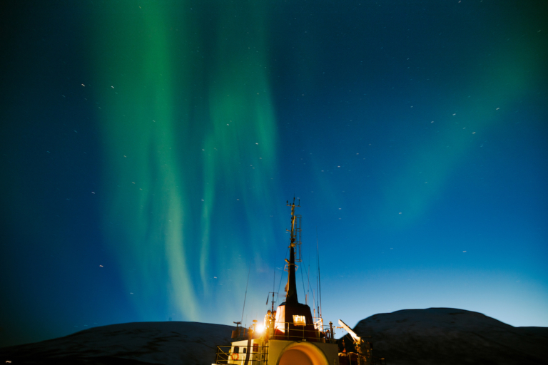
An extremely rare aurora has been observed in Spitsbergen
The phenomenon, never before observed from the Earth’s surface, is thought to be the result of a polar rain of electrons coming straight from the solar corona.
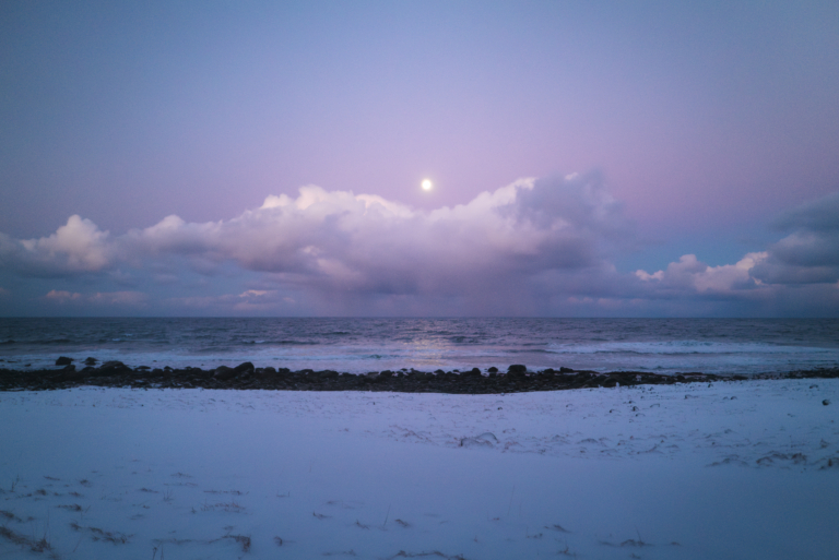
What is life like during the polar night?
People who live in Earth’s icy polar regions experience almost constant night every winter. This phenomenon is called the polar night, but what exactly is it? When does…
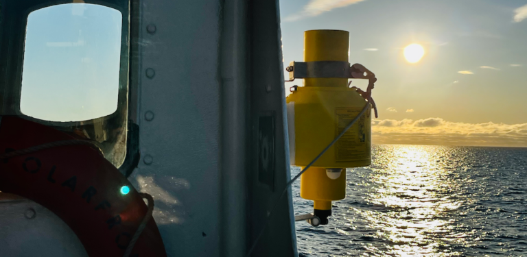
Where does the midnight sun come from?
The polar regions are known for the polar night, an almost unbroken winter night. In summer, on the other hand, the days grow longer and longer. The phenomenon…